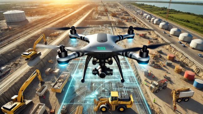
Hey there, engineering enthusiasts! If you’ve ever spent hours trudging across uneven terrain or squinting at old-fashioned survey equipment, we’ve got some exciting news: drones are here to save the day. Yes, those flying gadgets that once seemed like sci-fi toys are now revolutionizing site surveys. They’re fast, accurate, and, dare we say, a bit fun to work with. Ready to learn how drones are changing the game? Let’s dive in!

1. What makes drones a big deal for civil engineering?
First things first, let’s talk about why drones matter. Drones, also known as UAVs (unmanned aerial vehicles), can fly over your project site and collect tons of valuable data. Using cameras, sensors, and GPS, they give you precise measurements, detailed maps, and even 3D models.
What’s the big deal? It boils down to three things:
- Speed: Drones can survey a site in hours, not days.
- Accuracy: They deliver precise data, minimizing costly mistakes.
- Safety: They go where people can’t (or shouldn’t).
Simply put, drones make surveys faster, better, and safer. It’s like upgrading from a bicycle to a rocket ship!
2. Faster surveys: Time is money
Picture this: A surveyor has to walk a 50-acre site, measure distances, and jot everything down. Sounds exhausting, right? Now imagine a drone flying over that same site, capturing high-res images and measurements in under two hours.
Here’s why speed matters:
- Faster turnaround: Drones cut survey times by up to 75%.
- Quicker decisions: With data ready in hours, engineers can move forward faster.
Example:
One civil engineering firm used a drone to survey a large residential site in just three hours, shaving days off their project timeline. That saved time lets you tackle more projects, which means more business.
3. Precision like never before
Ever had a tiny miscalculation throw your project off-track? With drones, you can say goodbye to guesswork. Equipped with GPS, LiDAR, and high-resolution cameras, drones provide crystal-clear data.
What’s in it for you?
- Pinpoint elevation readings.
- Boundary lines so accurate, you’ll never fear disputes again.
- 3D models that let you “walk through” a site before construction even begins.
Accurate data means fewer do-overs and happier clients. And let’s be honest—who doesn’t love that?
4. Safety first (and always)
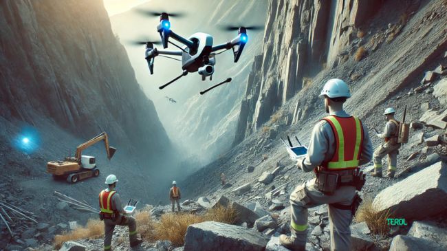
Construction sites can be dangerous. From uneven ground to hard-to-reach places, surveyors often face hazards. Drones change that by doing the risky work for you.
Examples of safer workflows:
- Survey steep slopes without risking a tumble.
- Inspect high structures without sending someone up a ladder.
- Monitor flood-prone areas without wading into water.
Drones protect your team while still getting the job done. Plus, they ensure everyone gets home safely—and isn’t that the most important part?

5. Cost-effective solutions
We know what you’re thinking: “Drones sound cool, but are they worth it?” The answer: absolutely. While there’s an upfront cost, drones can save you money in the long run.
Here’s how:
- Lower labor costs: Fewer people needed for surveys.
- Reduced mistakes: Accurate data means no costly rework.
- Increased efficiency: Projects move faster, saving time and resources.
Think of drones as an investment in your company’s future. They’re like hiring the fastest, smartest surveyor you’ve ever met—who just happens to fly.
6. Beyond the basics: What else can drones do?
You’re sold on the survey part, but did you know drones can do more? These flying marvels are multitaskers:
- Progress tracking: Capture weekly aerial photos to show clients how work is coming along.
- Inspections: Use drones to check bridges, roofs, or tall structures without scaffolding.
- Marketing: Showcase your projects with stunning aerial footage that wows potential clients.
Drones are more than survey tools—they’re your new best friend for site management and promotion.

7. Real-world example: Turning chaos into clarity
Here’s a quick story: A construction company faced delays due to unclear site boundaries on a 30-acre plot. They brought in a drone team to resurvey the area. In one afternoon, the drone delivered clear maps and pinpointed the problem. The result? A week of saved time and thousands of dollars in costs avoided.
This isn’t just a one-off. Across the industry, drones are solving problems like these every day.
8. Ready to get started? Here’s how
Thinking about bringing drones into your workflow? Here’s what you need to do:
- Pick the right drone: Look for models with GPS, high-res cameras, and survey-grade sensors.
- Get licensed: Ensure your team meets local drone regulations (this might include certification).
- Train your team: Drones are easy to fly, but training ensures you get the most out of them.
- Use mapping software: Tools like Pix4D or Drone Deploy help turn raw data into useful maps and models.
Start small and build your drone program one project at a time. Before you know it, you’ll wonder how you ever lived without them.
9. Addressing concerns
Not everyone’s a drone enthusiast (yet). Let’s tackle common concerns:
- “Are they expensive?” While the initial cost might seem high, drones quickly pay for themselves by saving time and reducing errors.
- “What about regulations?” Stay compliant by working with certified operators and following local rules.
- “Can I trust the data?” With proper equipment and software, drone data is incredibly reliable—and often more accurate than traditional methods.
10. The sky’s the limit
As drone technology improves, the possibilities for civil engineering are endless. Expect future drones to be even faster, smarter, and more autonomous. Think real-time 3D modeling, AI-driven analytics, and automated fleet management.
By embracing drones today, you’re setting your company up for tomorrow’s success.
Conclusion: Fly high with drones
Drones aren’t just a cool tech trend—they’re a revolution in site surveys. By delivering faster, safer, and more accurate data, drones are helping civil engineering companies streamline projects, reduce costs, and keep clients happy.
So, what are you waiting for? It’s time to let drones take your projects to new heights. Because the future of civil engineering isn’t just on the ground—it’s in the sky. 🚁


